Casting light on the sub-surface
Beneath the quiet village of Aldborough in North Yorkshire, there lies a Roman town. Isurium Britgantum was the civilian capital for a vast area of northern England, acting as a hub for trade and administration. It was densely built around its four principal roads, with a large forum and basilica at the centre. The streets would have been busy with the to and fro of people and animals, noise echoing out from workshops and quarries, shops and offices. After the withdrawal of the Roman army, the town declined, continuing in a quieter form until it became the small village we see today. Its previous lives are all but invisible, ephemeral traces left in the continuation of its roads, the subtle rise and fall in topography. Recent work by the Aldborough Roman Town Project has used geophysical survey to map the town and its surrounding landscape, creating detailed plans of its hidden past. An arts programme has begun to explore ways of communicating the extent of the archaeology and richness of narratives that can be drawn from the ground, and how creative practice can reveal new ways of exploring the landscape, reflecting on ideas of time, change and imagination.
Our Soundmarks collaboration set out to use sound and visual art to animate the sub-surface world of this landscape. Creating an art trail, we chose eight locations at which to bore down and extract narratives of the Roman town, environmental change and archaeological discovery. A painting and short sound piece (composed from field recordings, MIDI scores based on geophysics, and environmentally-responsive production techniques), were framed by a short introductory narration, allowing people to stand in the landscape, listen, look and gradually imagine their way beneath the surface. All the material is available online, to be explored on site or further afield. An exhibition in Aldborough featured the paintings and a longer, looping sound piece following the route. The particular balance of the visual and sonic created a carefully constructed, yet abstracted interpretation, allowing space for individuals imaginations to carry them off in whatever direction interested them, fulfilling one of our prime aims: to make the invisible world of the sub-surface past accessible to everyone, with no correct answer or single narrative interpretation.
The archaeological record is itself a data-flow that is interrupted and manipulated…
We have spoken and written a lot about the making of the project on our website, including a blog, podcast and documentary film. Here, we want to focus particularly on how photographic processes were used to develop dialogues with the landscape and one another, creating visual tools for thinking excavating through ideas of time, space and duration.
Archaeological research often involves capturing fleeting signals or modes of data that are translated or interpreted into visual forms. At Aldborough there is a growing archive of sub-surface signals; subtle, located languages that take a particular way of seeing to draw out forms and narratives. Magnetic responses of features are animated into life; areas of ‘quiet’ and ‘noise’, particular marks that spark recognition of known forms. Radars are projected through the ground and air, returning signals that create their own surfaces or layers. Different technologies capture the unseen, sending them back to us in ways that we gradually learn to read with extended and attentive looking. Photography forms another mode of this: light drawings that seem more familiar. But by experimenting with photographic practice, and setting techniques into dialogue with one another, we realise it too offers emergent ways of reading the land.
The start of the project in May 2019 coincided with the annual dig on site, providing – quite literally – rich ground for exploration. Visual exchanges began between us: Rose talked Rob through how detailed layers on sites are recorded, combining digital and analogue processes including the gridded progress of planning frame for pencilled drawings of stones and sediments, levels and slopes. Rob arrived at site armed – alongside his toolkit for sound recording – with an old medium format camera, which he employed in taking double exposure photographs: tent and oil seed rape, planning frame and Roman cobbles, tarpaulin and cow parsley. Instantly striking was the echo of these with the in-progress trench, where exposures of past action were overlapped, masking clear narrative. The photographic process inadvertently highlighted modes of archaeological thinking, visually reflecting upon the layered earthy narratives that archaeologists tackle. It highlighted issues of temporal distortion; the erasure, dissolution and preserved clarity muddled together in organic processes. Resonance can be found here with György Kepes’ ‘pattern thinking’, which conceptualised how unusual visual shifts in scale and form might generate new understandings of the environment.
During the excavation we had set up a timelapse camera to record the shifting forms of sediment, stone and voids. The GoPro took up position each day by the hawthorn, tracking the jerking presence and absence of figures, tracks of activity, the downward and pastward journey of the trench. The fast rattling changes of the focal point contrasted with the background transformations: clouds forming and dispersing, grass growing and waving in the wind, shadows and light, the blossoming of the hedge. Daily time mixed with seasonal time mixed with archaeological time. These timelapse images not only allowed us to play the excavation in fast motion long after it had been backfilled; they also allowed us to recall the previous form of the trench, the nature of features now removed. However, for the first week of the excavation, a dodgy memory card combined with chilly, damp weather, resulted in the downloaded results being littered with glitchy imagery. Some photographs were struck through with a coloured line, or half the image might be a uniform lime green. Some revealed figures and soil amid a technicolour geometry. For archaeological purposes these were frustrating. But as modes of discourse, and art forms in themselves they opened up the way we considered the landscape and our exploration of it. They resonate with ideas of decay and distortion, highlighting how the archaeological record is itself a data-flow that is interrupted and manipulated by technological errors or the elements.
The glitches are strangely stratigraphic, splitting the view horizontal and forcing us to read the image in the gaps in between. Archaeologically, the reading of stratigraphy allows the construction of temporal and chronological narratives. Changes in the soil or finds suggest the longevity of an activity or feature, and by constructing the relationships between each of these we can begin to reconstruct the story of a site. What the glitch photos highlight though, are differences in stratigraphic view; the gliches flutter and stutter or endure, hiding and revealing colour and form, or the fleeting appearance of human form. These images also raise questions around the nature of visual archives: even though an image doesn’t conform to its original purpose, new ways of seeing can reveal insight into the landscape, but also vibrant new ways of reflecting on our own disciplinary processes.
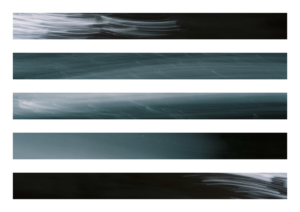
On one of our perambulations around Aldborough – recording sound, photographing, chatting – Rob took out his grandad’s old 35mm camera. Standing at the edge of a wheat field, he set the exposure to two or four seconds. Holding the camera carefully by his waist, he pressed the button and UP, he whipped the camera back over one shoulder. The process produced unexpectedly entrancing results. The landscape was framed as alive with movement, channelled through arrangements of colour and light that delicately characterised each location. These abstracted landscapes are alive with marks and strokes; painterly impressions of place. A sunset became a fresh tear in the gloaming; the quarry slips from the sky; pencilled heads of wheat amid a glowing greenery. Laid stratigraphically, strips of these photographs took on a sense of rushing time, movement and energy. The subtle mix of abstraction and detailed character in the images draws attention to ideas of duration in both archaeology and photography (discussed in greater depth by Bergson 1911, and Knight and McFadyen 2020), creating a fluidity and animism that is sometimes harder to discern in more traditional modes of archaeological photographic recording. Space and time become entangled; imagination is set in motion.
These experiments and collaborations in photography formed just one element of Soundmarks; an element which extended and deepened an exploration and understanding of the landscape at Aldborough. The time taken in the field visually furtling into the sub-surface, was part of the wider process of recording sound, painting and making film. The dialogue created a specific language of mark-making, colour, light and feel that grew from a slow and attentive process of ‘doing’. It has revealed the importance of using creative practice as an active form of research in both on-going and past landscapes; a vibrant stretching of our imaginations back into the ground.
For more on Soundmarks visit soundmarks.co.uk
Soundmarks by Rose Ferraby and Rob St. John (2019, Pattern and Process Press) available soundmarks.co.uk/book
Image credits (from top):
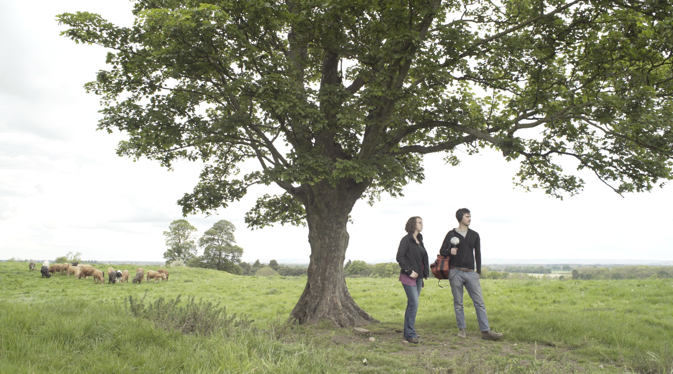
1. Rob St. John and Rose Ferraby at the amphitheatre, Aldborough. Image: Mario Cruzado
2. Interpretation drawing of an area of magnetometer survey data at Aldborough (Copyright: Rose Ferraby / Aldborough Roman Town Project)
3 & 4. Double exposure photographs from the archaeological excavations at Aldborough (Copyright: Rob St John, Soundmarks)
5 & 6. Glitch photos (Copyright: Aldborough Roman Town Project / Soundmarks)
7 & 8. ‘Fly photos’ (Copyright: Rob St John, Soundmarks)
This is part of ROOT MAPPING, a section of The Learned Pig devoted to exploring which maps might help us live with a clear sense of where we are. ROOT MAPPING is conceived and edited by Melanie Viets.


